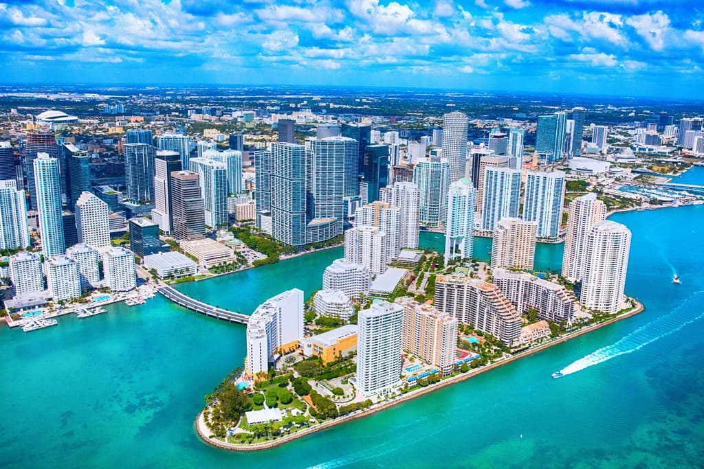
**Trader sentiment for Miami's August 1 highest temperature centers on the 92–95°F range (77% combined implied probability) because official NWS and model guidance point to a high near 92–94°F at Miami International Airport.** Afternoon sea-breeze convergence and scattered thunderstorms—typical for South Florida in early August—are expected to develop after peak heating, preventing stronger surface warming. Historical August averages at the station fall between 88–91°F, with the 1999 record of 95°F providing the upper bound that keeps 96–97°F at 13%. A heat advisory and current dew points near 75°F underscore the humid environment that favors convection over extreme highs, while any delay in storm initiation could allow brief spikes into the mid-90s. Updated model runs through the morning continue to support this narrow band ahead of the afternoon convection window.
Experimental AI-generated summary referencing Polymarket data. This is not trading advice and plays no role in how this market resolves. · UpdatedHighest temperature in Miami on August 1?
Highest temperature in Miami on August 1?
94-95°F 46%
92-93°F 32%
96-97°F 12%
90-91°F 10%
$27,495 Vol.
$27,495 Vol.
85°F or below
<1%
86-87°F
1%
88-89°F
4%
90-91°F
10%
92-93°F
32%
94-95°F
46%
96-97°F
12%
98-99°F
1%
100-101°F
<1%
102-103°F
<1%
104°F or higher
<1%
94-95°F 46%
92-93°F 32%
96-97°F 12%
90-91°F 10%
$27,495 Vol.
$27,495 Vol.
85°F or below
<1%
86-87°F
1%
88-89°F
4%
90-91°F
10%
92-93°F
32%
94-95°F
46%
96-97°F
12%
98-99°F
1%
100-101°F
<1%
102-103°F
<1%
104°F or higher
<1%
The resolution source for this market will be information from Wunderground, specifically the highest temperature recorded for all times on this day for the Miami Intl Airport Station, available here: https://www.wunderground.com/history/daily/us/fl/miami/KMIA.
To toggle between Fahrenheit and Celsius, click the gear icon next to the search bar and switch the Temperature setting between °F and °C.
This market can not resolve until the first data point for the following date has been published on the resolution source.
The resolution source for this market measures temperatures to whole degrees Fahrenheit (eg, 21°F). Thus, this is the level of precision that will be used when resolving the market.
Revisions to temperatures recorded within this market's timeframe will be considered until the first datapoint for the following date has been published, after which any alterations will not be considered.
Market Opened: Jul 30, 2026, 9:02 PM ET
Resolution Source
https://www.wunderground.com/history/daily/us/fl/miami/KMIAResolver
0x69c47De9D...The resolution source for this market will be information from Wunderground, specifically the highest temperature recorded for all times on this day for the Miami Intl Airport Station, available here: https://www.wunderground.com/history/daily/us/fl/miami/KMIA.
To toggle between Fahrenheit and Celsius, click the gear icon next to the search bar and switch the Temperature setting between °F and °C.
This market can not resolve until the first data point for the following date has been published on the resolution source.
The resolution source for this market measures temperatures to whole degrees Fahrenheit (eg, 21°F). Thus, this is the level of precision that will be used when resolving the market.
Revisions to temperatures recorded within this market's timeframe will be considered until the first datapoint for the following date has been published, after which any alterations will not be considered.
Resolution Source
https://www.wunderground.com/history/daily/us/fl/miami/KMIAResolver
0x69c47De9D...**Trader sentiment for Miami's August 1 highest temperature centers on the 92–95°F range (77% combined implied probability) because official NWS and model guidance point to a high near 92–94°F at Miami International Airport.** Afternoon sea-breeze convergence and scattered thunderstorms—typical for South Florida in early August—are expected to develop after peak heating, preventing stronger surface warming. Historical August averages at the station fall between 88–91°F, with the 1999 record of 95°F providing the upper bound that keeps 96–97°F at 13%. A heat advisory and current dew points near 75°F underscore the humid environment that favors convection over extreme highs, while any delay in storm initiation could allow brief spikes into the mid-90s. Updated model runs through the morning continue to support this narrow band ahead of the afternoon convection window.
Experimental AI-generated summary referencing Polymarket data. This is not trading advice and plays no role in how this market resolves. · Updated
Beware of external links.
Beware of external links.
Frequently Asked Questions