
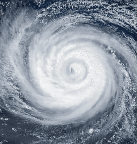
**Super Typhoon Dolphin, currently positioned near 20°N 158°E and moving west-northwest, has weakened from its recent peak as a Category 5-equivalent super typhoon with 160 mph winds.** Official Joint Typhoon Warning Center (JTWC) and Japan Meteorological Agency analyses show sustained winds now around 125–145 mph amid an ongoing eyewall replacement cycle and rapidly deteriorating conditions, including increased wind shear and reduced ocean heat content. Forecast models indicate a steady weakening trend over the next 24–72 hours as the system moves into a less favorable environment, limiting any brief re-intensification window. This trajectory points toward the Ogasawara Islands and potentially waters south of Kyushu by early August, but with intensities projected to fall below Category 4 thresholds (130+ mph sustained) well before any land interaction. Historical analogs and current steering patterns reinforce low odds of maintaining major typhoon strength at landfall. These factors underpin the market’s strong “No” consensus at 83%, reflecting trader alignment with agency guidance on the storm’s rapid post-peak decline.
Experimental AI-generated summary referencing Polymarket data. This is not trading advice and plays no role in how this market resolves. · UpdatedWill Super Typhoon Dolphin make landfall at Category 4 strength or higher?
Will Super Typhoon Dolphin make landfall at Category 4 strength or higher?
The single JMA advisory in effect immediately prior to the observed crossing is authoritative for both position and intensity; no subsequent real-time advisory, reclassification, or post-season best-track reanalysis may retroactively change the outcome.
JMA position advisories are the primary resolution source. If a JMA advisory plots the center on land, the market resolves based on that advisory's wind speed. If no JMA advisory plots the center on land but credible reporting confirms a crossing occurred between discrete advisory fixes, the intensity is taken from the most recently issued JMA advisory prior to the confirmed crossing time.
This market resolves "No" if Dolphin makes landfall with the most recent prior JMA advisory showing maximum sustained winds below 105 knots, if Dolphin dissipates without making landfall on any territory, or if no landfall has physically occurred by the close of August 15, 2026.
Market Opened: Jul 30, 2026, 4:58 PM ET
Resolver
0x65070BE91...The single JMA advisory in effect immediately prior to the observed crossing is authoritative for both position and intensity; no subsequent real-time advisory, reclassification, or post-season best-track reanalysis may retroactively change the outcome.
JMA position advisories are the primary resolution source. If a JMA advisory plots the center on land, the market resolves based on that advisory's wind speed. If no JMA advisory plots the center on land but credible reporting confirms a crossing occurred between discrete advisory fixes, the intensity is taken from the most recently issued JMA advisory prior to the confirmed crossing time.
This market resolves "No" if Dolphin makes landfall with the most recent prior JMA advisory showing maximum sustained winds below 105 knots, if Dolphin dissipates without making landfall on any territory, or if no landfall has physically occurred by the close of August 15, 2026.
Resolver
0x65070BE91...**Super Typhoon Dolphin, currently positioned near 20°N 158°E and moving west-northwest, has weakened from its recent peak as a Category 5-equivalent super typhoon with 160 mph winds.** Official Joint Typhoon Warning Center (JTWC) and Japan Meteorological Agency analyses show sustained winds now around 125–145 mph amid an ongoing eyewall replacement cycle and rapidly deteriorating conditions, including increased wind shear and reduced ocean heat content. Forecast models indicate a steady weakening trend over the next 24–72 hours as the system moves into a less favorable environment, limiting any brief re-intensification window. This trajectory points toward the Ogasawara Islands and potentially waters south of Kyushu by early August, but with intensities projected to fall below Category 4 thresholds (130+ mph sustained) well before any land interaction. Historical analogs and current steering patterns reinforce low odds of maintaining major typhoon strength at landfall. These factors underpin the market’s strong “No” consensus at 83%, reflecting trader alignment with agency guidance on the storm’s rapid post-peak decline.
Experimental AI-generated summary referencing Polymarket data. This is not trading advice and plays no role in how this market resolves. · Updated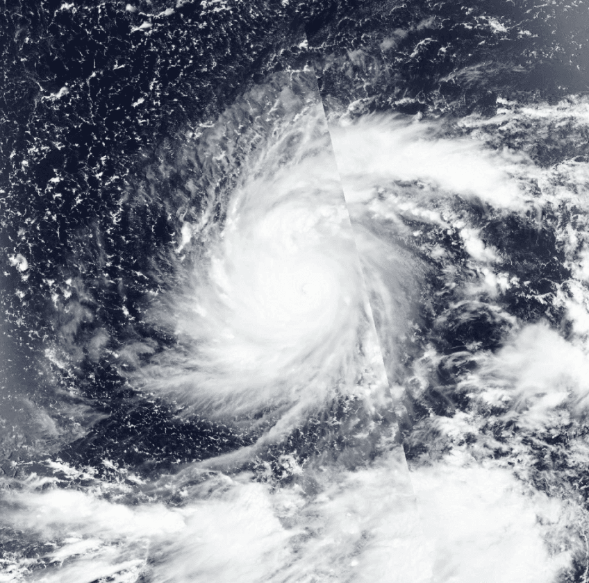
Beware of external links.
Beware of external links.
Frequently Asked Questions