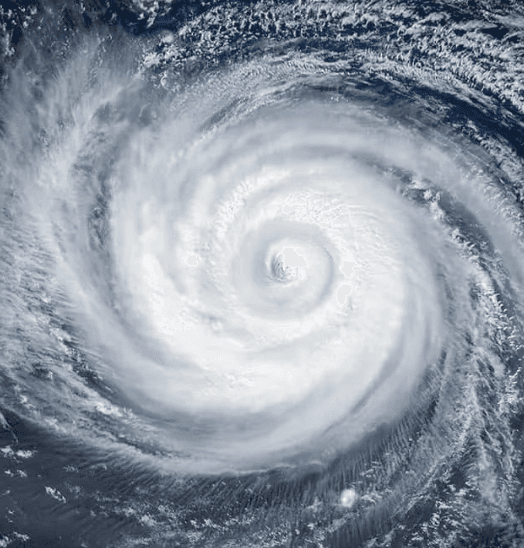
NOAA and Colorado State University forecasts project a below-normal 2026 Atlantic hurricane season, citing emerging El Niño conditions that favor increased wind shear and reduced storm formation. Only two named storms—Arthur and Bertha—have formed through late July, with zero hurricanes so far and no active systems in the basin as of August 1. The climatological peak for U.S. landfalls begins mid-month, yet model consensus points to suppressed activity through the period, consistent with the 55% probability of below-average totals (8–14 named storms, 3–6 hurricanes). National Hurricane Center outlooks note that short-term steering patterns and intensification windows remain uncertain, but current conditions strongly support trader consensus around an 83.5% implied probability of no August landfall.
Experimental AI-generated summary referencing Polymarket data. This is not trading advice and plays no role in how this market resolves. · UpdatedWill a hurricane make landfall in the US in August?
Will a hurricane make landfall in the US in August?
A hurricane is a tropical cyclone with maximum sustained winds of 74 mph or greater (Category 1 or higher on the Saffir-Simpson Hurricane Wind Scale), as described at https://www.nhc.noaa.gov/aboutsshws.php, and a hurricane landfall is said to occur when the hurricane's surface center intersects with the coastline, as described at https://www.nhc.noaa.gov/aboutgloss.shtml#LANDFALL. A storm must hold hurricane strength (Category 1 or higher on the Saffir-Simpson scale) at the moment its surface center intersects the coastline for that landfall to qualify.
This market may resolve based on the initial NHC advisory reporting a qualifying landfall regardless of any later advisory, retraction, best-track revision, or reanalysis that revises that storm's intensity downward at the time of landfall. However, if a subsequent advisory or correction identifies a qualifying landfall that was not reflected in initial reporting, that landfall will be added.
Market Opened: Jul 30, 2026, 2:36 PM ET
Resolver
0x65070BE91...A hurricane is a tropical cyclone with maximum sustained winds of 74 mph or greater (Category 1 or higher on the Saffir-Simpson Hurricane Wind Scale), as described at https://www.nhc.noaa.gov/aboutsshws.php, and a hurricane landfall is said to occur when the hurricane's surface center intersects with the coastline, as described at https://www.nhc.noaa.gov/aboutgloss.shtml#LANDFALL. A storm must hold hurricane strength (Category 1 or higher on the Saffir-Simpson scale) at the moment its surface center intersects the coastline for that landfall to qualify.
This market may resolve based on the initial NHC advisory reporting a qualifying landfall regardless of any later advisory, retraction, best-track revision, or reanalysis that revises that storm's intensity downward at the time of landfall. However, if a subsequent advisory or correction identifies a qualifying landfall that was not reflected in initial reporting, that landfall will be added.
Resolver
0x65070BE91...NOAA and Colorado State University forecasts project a below-normal 2026 Atlantic hurricane season, citing emerging El Niño conditions that favor increased wind shear and reduced storm formation. Only two named storms—Arthur and Bertha—have formed through late July, with zero hurricanes so far and no active systems in the basin as of August 1. The climatological peak for U.S. landfalls begins mid-month, yet model consensus points to suppressed activity through the period, consistent with the 55% probability of below-average totals (8–14 named storms, 3–6 hurricanes). National Hurricane Center outlooks note that short-term steering patterns and intensification windows remain uncertain, but current conditions strongly support trader consensus around an 83.5% implied probability of no August landfall.
Experimental AI-generated summary referencing Polymarket data. This is not trading advice and plays no role in how this market resolves. · Updated
Beware of external links.
Beware of external links.
Frequently Asked Questions